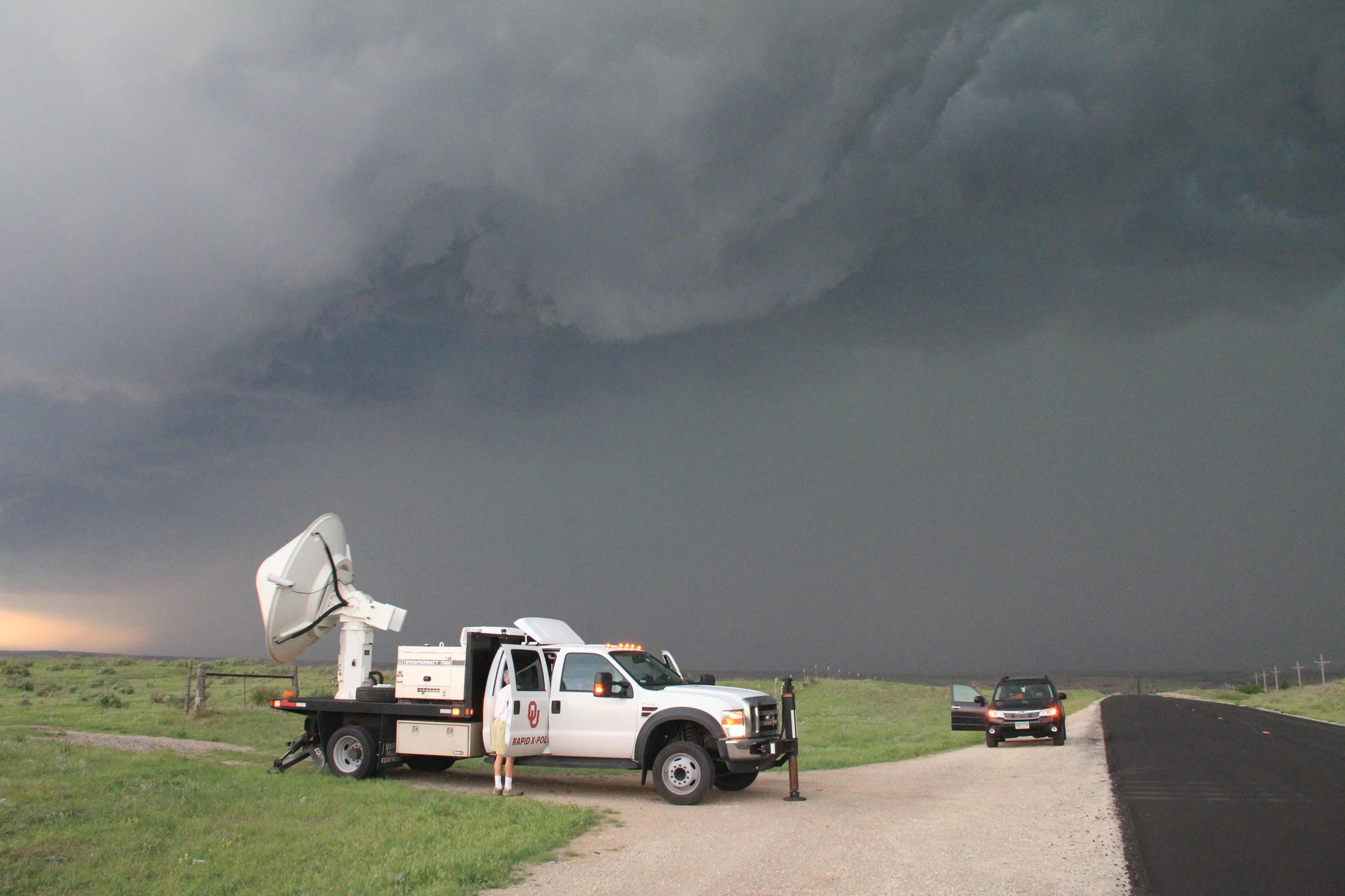
Thunderstorms headed for the Tulsa area Monday, Nov. 2, could turn severe, the National Weather Service in Tulsa warned.
A cold front arriving late Monday afternoon is expected to trigger storms that move east through the overnight hours, according to the NWS Tulsa website. The agency said some of those storms could strengthen enough to produce damaging wind gusts, tornadoes and large hail. The hail threat is greatest during the initial round of storm development across eastern Oklahoma.
Flash flooding is also a concern. The NWS said unusually high moisture levels in the atmosphere, combined with storms repeatedly tracking over the same areas, could dump heavy rain across the region. The worst of the rainfall is expected Monday night into Tuesday morning.
Ahead of the front, south winds are forecast to gust between 30 and 40 mph across much of the area during the day Monday, with stronger gusts possible in higher terrain.
Tulsa's Monday forecast calls for a high of 77 degrees under mostly cloudy skies, with showers likely by the afternoon, according to the NWS point forecast. Monday night's low is expected near 60 degrees, with thunderstorms.
The NWS Tulsa posted on X at 1:12 a.m. Sunday, urging residents to monitor the forecast for updates as storms may bring damaging winds, tornadoes, large hail and flash flooding.
Residents can track watches, warnings and updated forecasts on the NWS Tulsa website.